


Conditions update & forecast at 17th December.
17/12/13
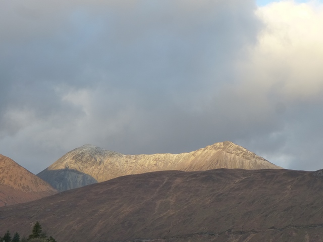 Sunlit smattering on Glamaig on Monday (16th) morning
Just a quick update to say that its been cool for 48 hours with a thin covering reaching down to about 600m. It seems unlikely this lot will survive the wet thaw due tomorrow but continued gales and cold pulsing in again on Thursday. Not ideal in the short term but general wind-chill and cold snaps forecast over Xmas should hopefully see Santa leaving us a good base for the rest of the season.
Here’s MWIS outlook this morning- “Frequent severe gales and intermittent storm force winds (or stronger) on the mountains well into and perhaps throughout the Christmas period. Precipitation will be considerable on western mountains, with a series of freeze-thaw cycles on all mountain areas. Cold conditions (when snow will lie on lower slopes) will be prevalent across Scotland, less so elsewhere.”
Plenty of time for “altitude training” 😉